Cross Tay Link Road, Perth and Kinross
|
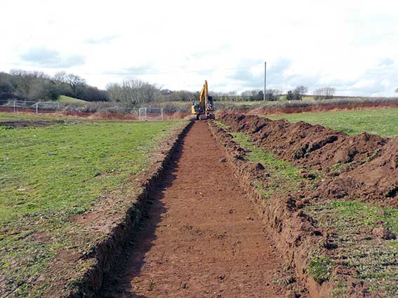
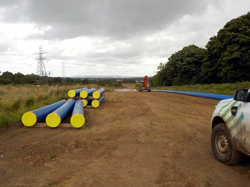
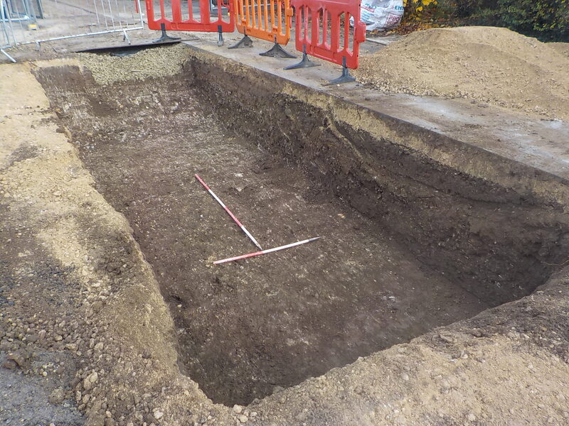
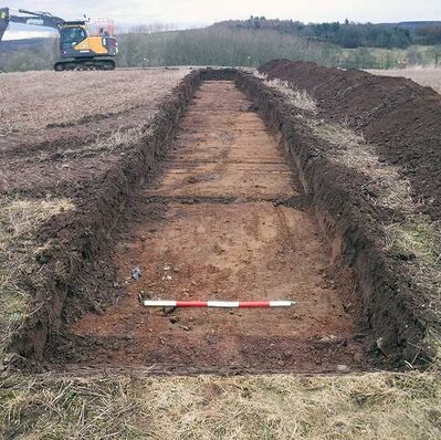
Perth and Kinross Council’s Cross Tay Link Road project consisted of a new road linking the A93, A94 and A9 by way of dual carriageway realignment, a grade separation junction, the Inveralmond Roundabout, and a new bridge crossing the River Tay and adjacent railway line. As the appointed archaeological contractors Red River Archaeology delivered the programme of archaeological investigations along the proposed scheme, including geophysical survey followed by 476 evaluation trenches along the proposed route and the secondary northern route. Our capacity to deploy multiple field teams ensured the critical time frames of the project were met. In addition to evaluation trenching limited investigation of Bertha Roman Fort, a scheduled monument, was required as part of a route selection process associated with a proposed temporary construction access track in this area.
|
Cross Tay Link Road
|
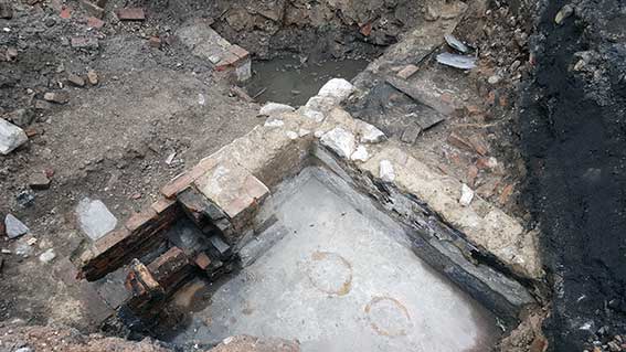
Accordingly, Historic Environment Scotland (HES), requested that geophysical survey and hand-dug test pitting be undertaken across Bertha Fort to establish the depth of topsoil over the scheduled monument and to assess the potential for the proposed temporary construction access track to impact on the Fort.
Bertha Fort was constructed in the 1st century as Roman forces moved into the region. It is considered that at this time it was situated at the highest navigable point on the Tay. There is artefact evidence to suggest occupation lasted until the middle of the 3rd century. The fort formed part of Gask Ridge defensive line, which consisted of watchtowers, fortlets and other forts running along the southern edge of the Highland Line. It is speculated that the fort may have offered control over a possible crossing point of the River Tay. The test-pits within the fort recorded pits, postholes, gullies, and a metalled surface; all associated with the Roman occupation. The evaluation trenches recorded evidence for pre-Roman activity in the Iron Age and Bronze Age with a number of pottery finds in the area.
Bertha Fort was constructed in the 1st century as Roman forces moved into the region. It is considered that at this time it was situated at the highest navigable point on the Tay. There is artefact evidence to suggest occupation lasted until the middle of the 3rd century. The fort formed part of Gask Ridge defensive line, which consisted of watchtowers, fortlets and other forts running along the southern edge of the Highland Line. It is speculated that the fort may have offered control over a possible crossing point of the River Tay. The test-pits within the fort recorded pits, postholes, gullies, and a metalled surface; all associated with the Roman occupation. The evaluation trenches recorded evidence for pre-Roman activity in the Iron Age and Bronze Age with a number of pottery finds in the area.